Air mission systems
Indra provides integrated Mission and Command & Control systems on every platform, managing and displaying the tactical situation in real time according to the operational needs on board the aircraft, delivering a complete and clear view throughout mission execution.
Our systems provide a complete and clear situational awareness during mission execution, based on flight route, navigation points, tactical objects, tactical overlays, targets, threats, images, and digital video, among other information processed and supplied by avionics systems such as FMS, EWS, WS, EOS or COMMS, as well as data from various sources like TDL and onboard sensors.
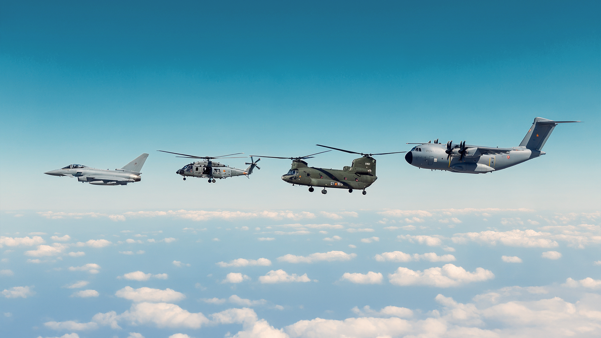
They also feature full connectivity between airborne platforms and long-range links to command and control centres, as well as integration with land, air and maritime environments, offering a multi-domain view, sharing data and executing missions collaboratively.
Their modularity and flexibility, with C2 capabilities, allow deployment on a wide range of hardware devices and adaptation to any platform, already integrated into the aeronautical equipment developed by Indra (including through its company CLUE Technologies).
The best option for modernising and digitising analogue platforms by leveraging the aircraft’s systems and communications, enabling interoperability with ground-based tool systems.
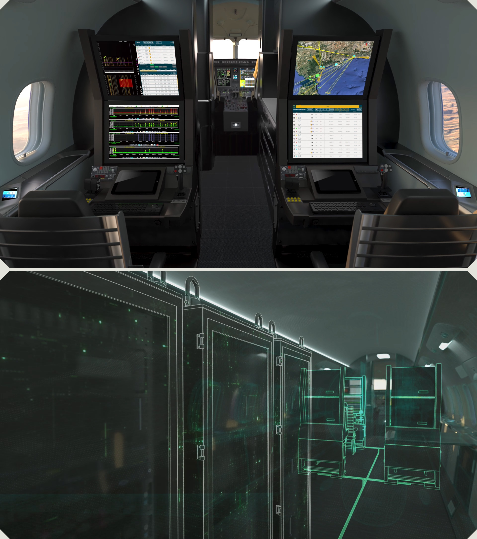
Indra’s airborne mission systems are designed in collaboration with real pilots, ensuring they are tailored to actual operational needs and ease of use, and developed in compliance with DO-178C standards.
In short, they deploy cutting-edge proprietary technology, purpose-built to provide control and sovereignty over a critical element for achieving air mission superiority, while minimising third-party dependencies.
- Integration of helicopters as tactical mission nodes within the national asset network (VCR 8x8, EW, JTAC, TALIUM, etc.).
- Adaptability to all types of missions: assault, SAR (Search and Rescue), DA-CAS (Close Air Support), MEDEVAC, reconnaissance, etc.
- Pre-configurable mission actions to reduce crew workload.
- Datalink capabilities (VMF, Link16, IDT, FFI, JDSS, …) and integration with more than six radio manufacturers.
- Advanced GIS functions: 2D/3D/4D, maps, raster/vector/elevation/aeronautical/naval/meteorological/military, 3D video projection, etc.
3+
years participating in NATO validation exercises
15+
implemented STANAGs
80+
accepted standard geographic data formats
Contact us